Susquehanna River
Lower Susquehanna Riverkeeper Association
LowerSusquehannaRiverkeeper.org
Contact Information
2098 Long Level Rd.
Wrightsville, PA 17368
Email: info@lowsusriverkeeper.org
(717) 478-1780
Downstream Flow: VIEW GOOGLE MAP
Susquehanna River » Chesapeake Bay
Contributing Municipalities
Columbia Borough, Conoy Township, East Donegal Township, Fulton Township, Manor Township, Marietta Borough, Martic Township, Mountville Borough, West Donegal Township and West Hempfield Township
Monitoring Data
Volunteer Monitoring Data Microsoft Excel Online
Sampling Sites: 42-43, 45, 51-57, 62, 69, & 87-89
Documents
Information may be found on the Susquehanna River Basin Commission website. (SRBC) is an interstate agency that coordinates the management of water resources in the Susquehanna River Basin.
Social Media
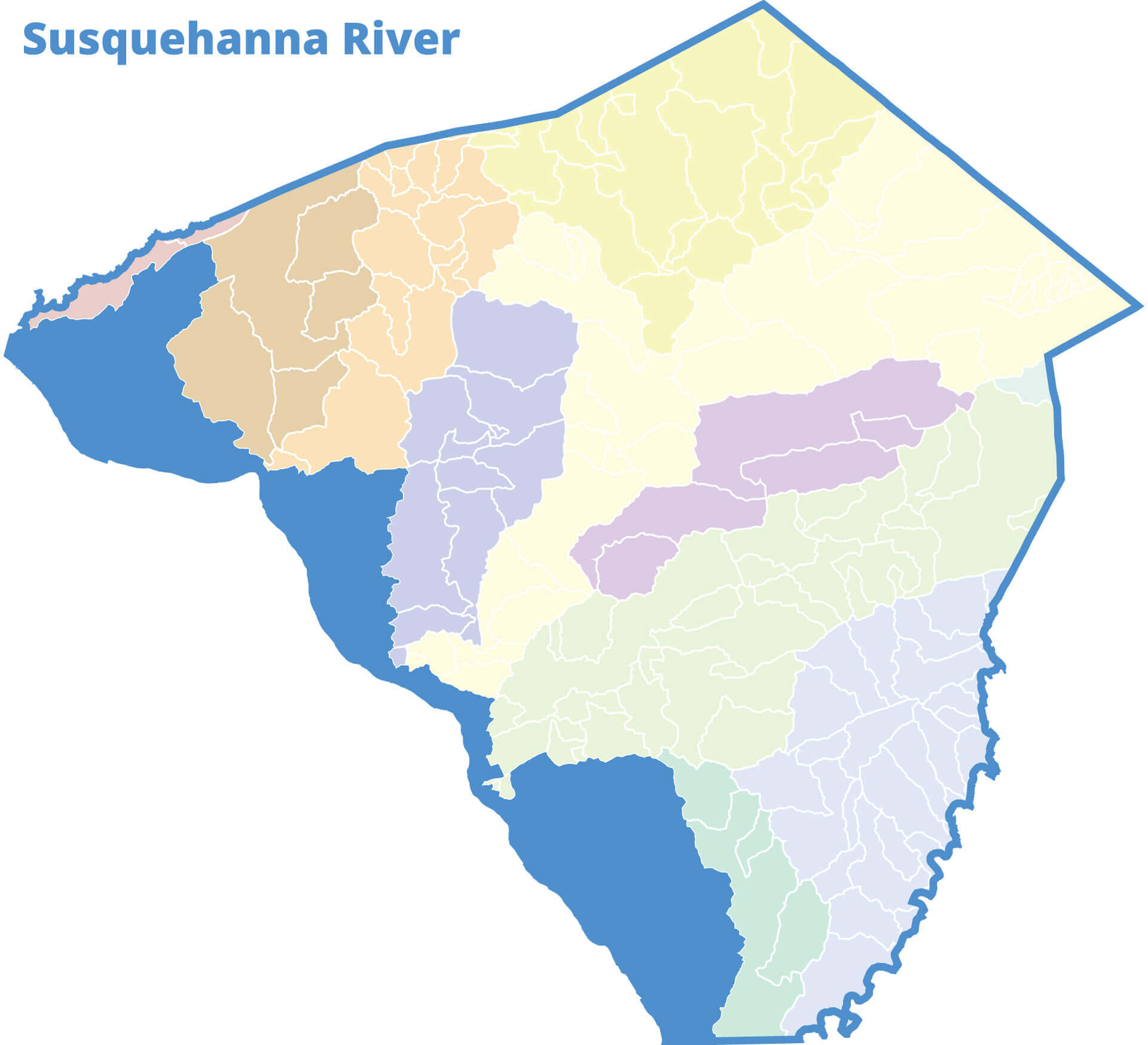
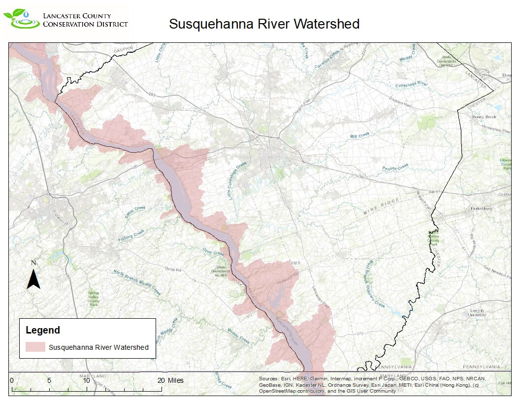
The Susquehanna River Watershed is located on the western side of the entire county border. This 27,000 square mile watershed, the largest drainage area basin to the Chesapeake Bay, was originally named by the Delaware Native American tribe which means “River Oysters”. All of the Lancaster County’s River Hills drain to the Susquehanna River and all other major watersheds in the county, except the Brandywine, flow into the Susquehanna River. The river has been the lifeblood of the county since it was first mapped. In fact, if you look at most maps of Lancaster County one can find the Susquehanna River as part of the Lancaster County Map. The reason for this is that when Lancaster county was created the river was used as its border all the way over to the York county shore, so in essence Lancaster County owns the Susquehanna River to the York shoreline. Towns like Marietta and Columbia have depended on the River for years and it has been part of American history. There are no active watershed association doing work within the watershed presently but quite a few groups doing work on tributaries to the Susquehanna River. There have been several studies completed by various groups on the Susquehanna over the years and most of them can be found with the Susquehanna River Basin Commission – www.srbc.com.


