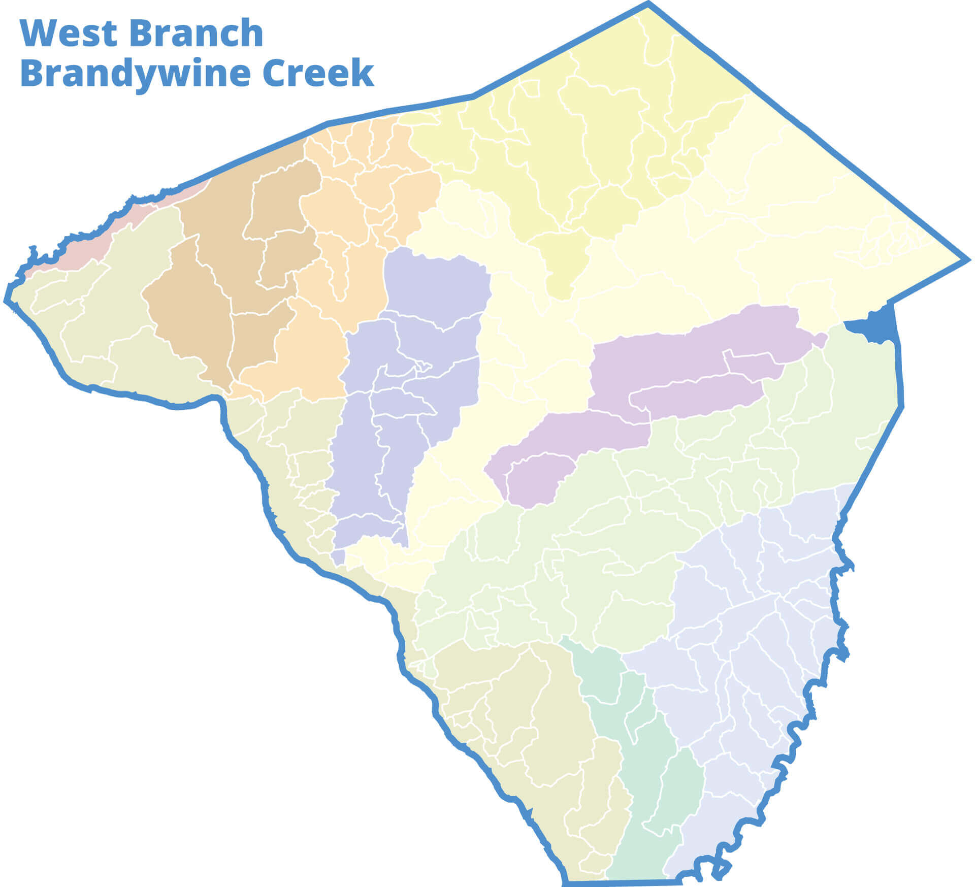
West Branch Brandywine Creek
Brandywine Red Clay Alliance
BrandywineRedClay.org/watershed-conservation/
Contact Information
Various Locations. Please visit this Brandywine Red Clay Webpage
Downstream Flow: VIEW GOOGLE MAP
West Branch Brandywine Creek » Christiana River » Delaware River » Delaware Bay
Contributing Municipalities
Caernarvon Township and Salisbury Township
Monitoring Data
No data available for this watershed area. Monitoring data is provided by community volunteers dedicated to improving our waterways. Contact us using the form below if you’re interested in learning more about becoming a volunteer watershed monitor. Your questions about Lancaster Watersheds are welcome.
Documents
This watershed has none.
Social Media
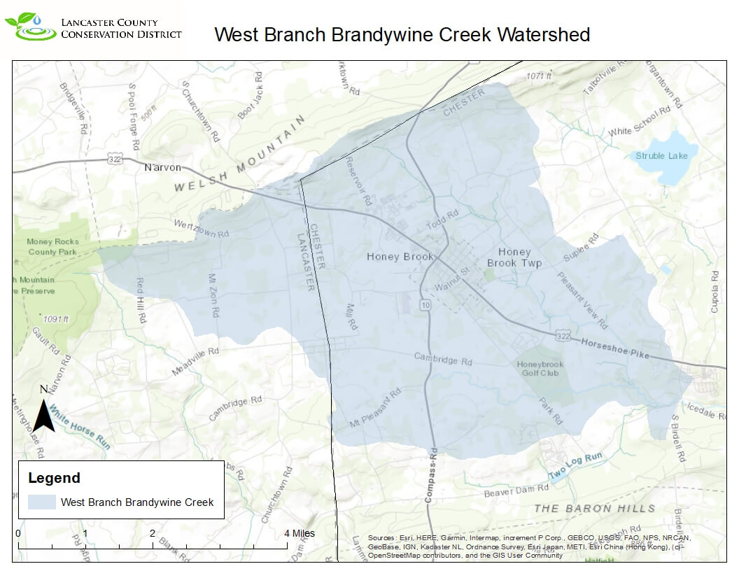
The West Branch of the Brandywine Creek Watershed is located in the far eastern corner of the county. This is a 135 square mile watershed but very little originates from Lancaster County. Today there are about 226 miles of streams in the West Branch of the Brandywine Creek Watershed. The mainstem starts in eastern Lancaster county but most of the watershed is in Chester County and flows mostly southeast to the stream’s confluence with the mainstem of the Brandywine. According to the USGS Stream Stats website about 37% of the watershed is forested and 8% of the watershed has urban development on it. The watershed encompasses towns like Parkesburg and Coatesville in Chester County. There are no active watershed association doing work within the Lancaster portion of the watershed presently.


