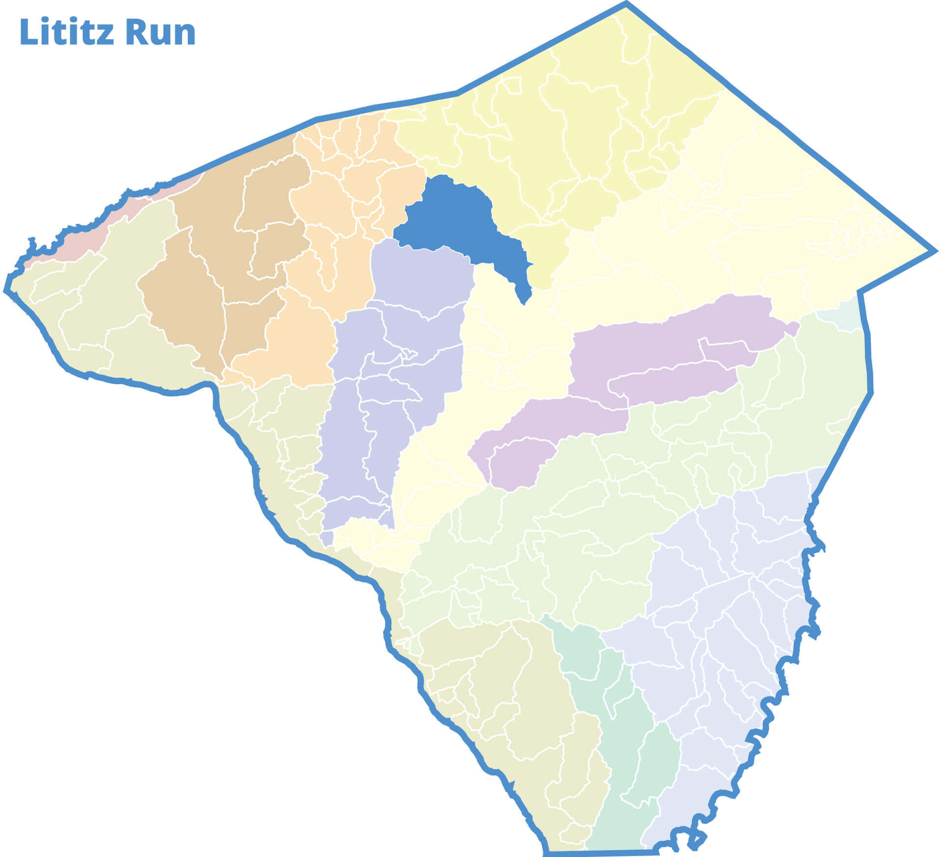
Lititz Run
Lititz Run Watershed Alliance Meetings
warwicktownship.org/lititz-run-watershed-alliance/pages/lrwa-meeting-schedule
Warwick Township Municipal Building
315 Clay Road, Lititz, PA 17543
Contact Information
P.O. Box 308
Lititz, PA 17543
(717) 626-8900
Downstream Flow: VIEW GOOGLE MAP
Lititz Run » Conestoga River » Susquehanna River » Chesapeake Bay
Contributing Municipalities
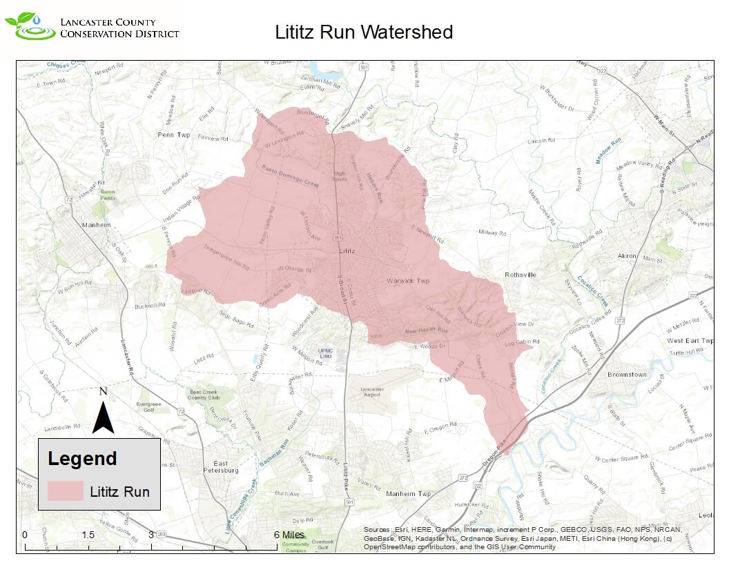
Elizabeth Township, Lititz Borough, Manheim Township, Penn Township and Warwick Township
Monitoring Data
Volunteer Monitoring Data Microsoft Excel Online
Sampling Site: 14
Documents
Lititz Run Watershed Assessment PDF
Northern Lancaster County Groundwater Study PDF
The Lititz Run Watershed is located in the Central portion of the county. This 17 square mile watershed was originally named Carters Runs by the Moravians who settled in Lititz but was later changed to the town’s name. Today there are about 21 miles of streams within the Lititz Run Watershed. The mainstem of Lititz Run and its tributaries flow mostly southeast to the stream’s confluence with the Conestoga River around the Village of Oregon. According to the USGS Stream Stats website only about 7% of the watershed is forested and nearly 15% of the watershed has urban development on it. The watershed starts and encompasses the town of Lititz. There is an active watershed association doing work within the watershed, the Lititz Run Watershed Alliance. The Alliance does mostly outreach and educational work along with stream and conservation work throughout the watershed. There have been numerous studies completed by various groups within the watershed and outside the watershed. From watershed wide assessments to groundwater studies.


